Biodiversa+ is a partnership consisting of over 80 European and non-European partners. The common goal is to research biodiversity and create a basis for its conservation and promotion. A particular focus of the partnership is the harmonization of European standards in the field of biodiversity monitoring. To this end, a series of pilot studies have been launched within the partnership, in which biodiversity is recorded in various partner countries using innovative methods in some cases. The Habitat Pilot is co-coordinated by Finland’s Ministry of Environment and Sweden’s Environmental Protection Agency and aims at exploring the potential in using remote sensing data to map and monitor grassland and wetland habitats. Eleven countries and regions from across Europe are contributing as active partners in the pilot, and the goal is to find harmonized methods that can be applied and tested in all partner countries.
Project description and goals:
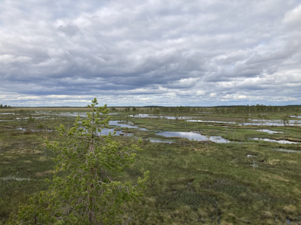
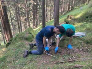
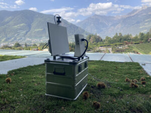
Grassland and wetland habitats are often monitored by collecting in-situ data at sampling points. Such field-based methods are both expensive and labor-intensive wherefore remote sensing methods are increasingly used to complement traditional field inventories. Remote sensing data includes both satellite data, aerial imagery, and drone-collected data and has the benefit of already being widely available in many European countries. High-quality satellite data, for example, is available for the whole continent at only a few days intervals and many countries additionally offer regularly updated airborne data (e.g., aerial images, orthophotos, multispectral data, terrain models, ALS etc.) for public or research use. For more local use, drones today offer a very quick and cheap way to collect different types of data for entire areas in high resolution.
Despite its potential, these methods are still underused, or applied differently in different countries, leading to non-comparable data. The goal of the Habitat Pilot is to test a selection of promising methods in local field sites across the partner countries, to assess the potential of the methods, and evaluate their performance and limitations in different areas.
Methods and activities:
Unlike the other Biodiversa+ Pilot studies that Eurac Research (as third-party representative for the Autonomous Province of Bolzano) is engaged in (Soil pilot study & IAS & ABMS project), the Habitat Pilot did not have a pre-defined method to test at its start in March 2024. Instead, the Habitat pilot started with a review phase where the partners listed existing methods relating to the goals of the Habitat Pilot and identified synergies and overlaps with other existing research projects.
The review work of the partners was gathered in a project report and the partners then decided which of the reviewed methods and projects showed the most potential for being scaled up and tested in the partner countries’ field sites. An integral part of the Habitat Pilot is its collaboration with projects such as EU Grassland Watch, G4B, MAMBO and NaturaSat. Current activities in the Habitat pilot include reviewing Sentinel-based indicators for wetland and grassland quality using time series, evaluating the accuracy of different habitat mapping products using local partner data and building capacity among the partners to utilize novel remote sensing tools and methods.
Partners:
Belgium (Flanders), Bulgaria, Denmark, Croatia, Czech Republic, Finland, Italy (Autonomous Province of Bolzano), Republic of Ireland, Slovakia, Spain (Catalonia), Sweden
Contact:
Andreas.Hilpold@eurac.edu, Albin.Bjaerhall@eurac.edu