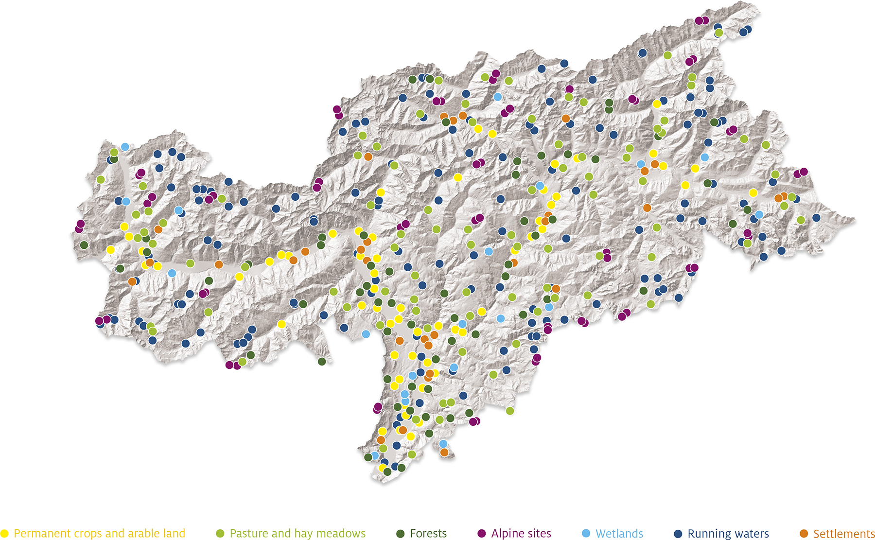
Where do we survey?
Biodiversity Monitoring South Tyrol is conducting biodiversity surveys in 320 different sites over a period of five years. This means we assess 64 single sites per year. These surveys will be repeated in the following five years. The size for the plots varies between the assessed taxonomic groups: while for vascular plants and grasshoppers a square of 10 x 10m is surveyed, birds and bats are assessed within a radius of 100m around the single survey points. Finally, the habitat and landscape cartography are conducted in a square field with 200m in all four directions (400 x 400m). The single sites were mostly chosen randomly, except for alpine habitats and special habitats like bogs and lake shores. Further information about the site selection can be found in the manual on the survey methods of the Biodiversity Monitoring South Tyrol.